| Pleasant Valley Weather Watch - From Pleasant Valley Highway Superintendent John Baxter
**Storm Update*** As of 3/12/2023 2:30 PM
Looks like our area will be a tricky one with this system, as we look to be right on the edge of where a rain/snow line will set up. Right now, we are expecting precipitation to start as some light rain/snow around 8 AM Monday, changing to all rain by 10 AM Monday.
Rain chances then continue through about 11PM before a rain/snow mix begins to work in, becoming all snow by about 2 AM Tuesday
Snow chances then continue for all areas through 2-4 AM Wednesday before finally ending. The heaviest snows will likely fall between about 4 AM -2 PM Tuesday, with a majority of the accumulation coming in this window.
Snow will be of the wet/heavy character, and with it falling during the daytime hours, this combo will likely limit accumulation amounts. With that said, 4-8" of snow expected in your area. If the transition to snow takes longer than currently expected, the snow totals will likely stay on the lower end of the range. Rainfall: 0.20-0.50".
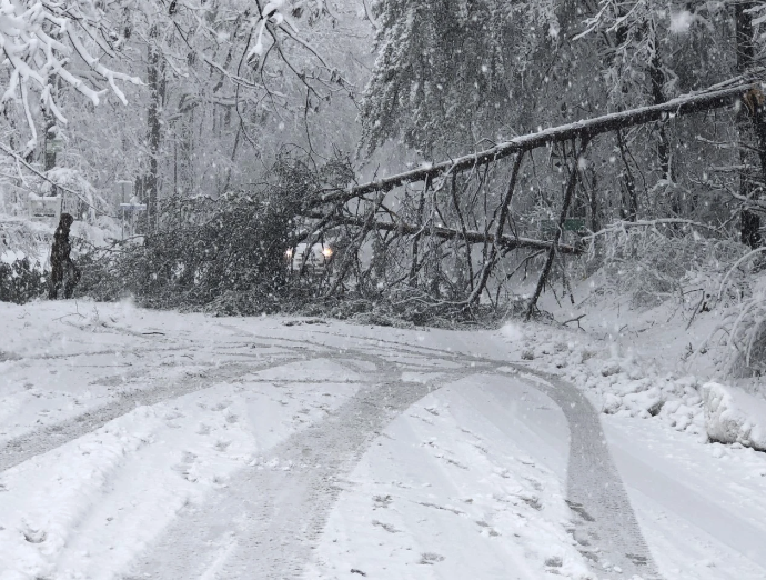
Because this snow will be wet and heavy, it can bring down limbs, trees, and wires. Please stay away from any wires that are down.
If you do not have to travel please don't. If you must travel please do so carefully. And please do not crowd the plow.
From the Pleasant Valley Fire District - Please begin preparing now for this upcoming winter storm event. Help us help you!
|


